Longs Peak via Keyhole Route
Page 1
Summary:
- Successful ascent of Longs Peak via Keyhole Route
- August 11, 2010
- Heather made it to the Keyhole!
- ~15 miles
- GPS indicated distance: 15.60 miles (I accidentally turned it off for a bit -- maybe .3 mi -- on the way back)
- ~5000 feet of elevation gain
- GPS indicated elevation gain/loss: +5,965/-5,963
- Todd: 12 hrs, 6 minutes (1:55am to 2:01pm)
Map (.pdf) of Rocky Mountain National Park
.kmz file of Todd's path (for Google Earth)
We started up the trailhead at 1:55am and signed the trail register, indicating that we thought we'd be back around 4pm. There were 11 (?) other groups that had already signed the trail register, most were going to Longs summit, but some were not doing the Keyhole, but instead more technical routes.
We stopped at the Boulderfield campsites at 5:45am to rest and eat a bit. This video shows the view.

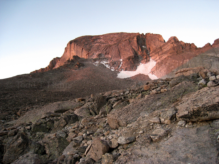
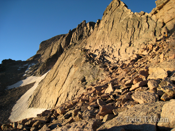
The beginning of the boulderfield and the East face of Longs Peak.
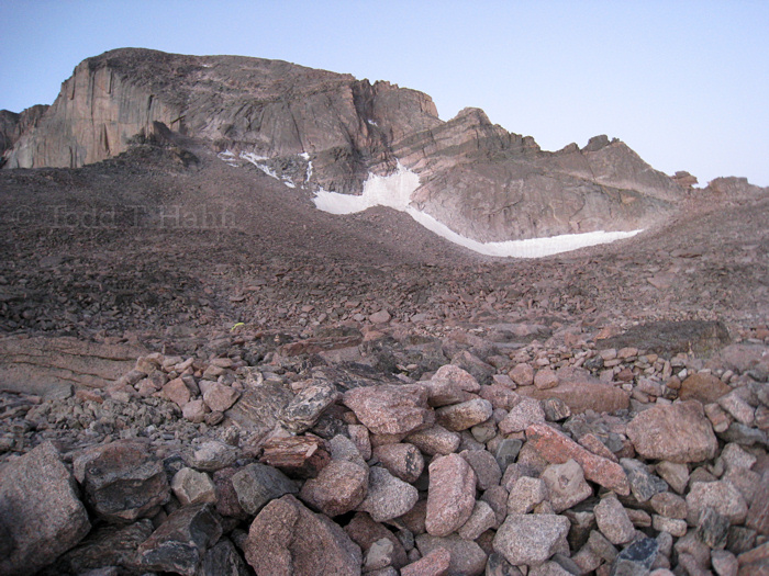
The Keyhole can be seen at the top of the boulderfield. 5:55am.
5:56am.
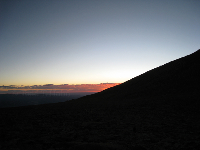
The sun is about to rise behind Mount Lady Washington. 6:04am
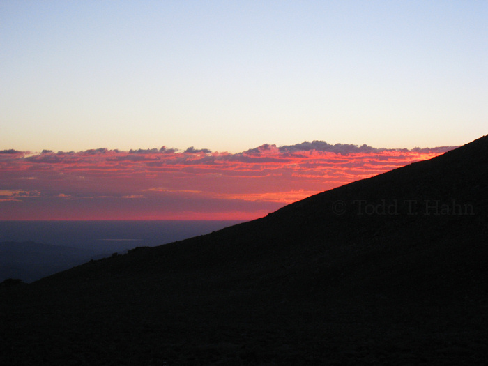
6:04am.
6:04am.
This video shows us climbing up the first part of the Boulderfield past the campsites (6:04am.)
More boulderfield video. (Video clip times: 6:07am, 6:18am, 6:22am, 6:23am)
6:19am. The colors on Longs North and East face changed quickly.
6:20am
6:30am
6:31am
6:31am
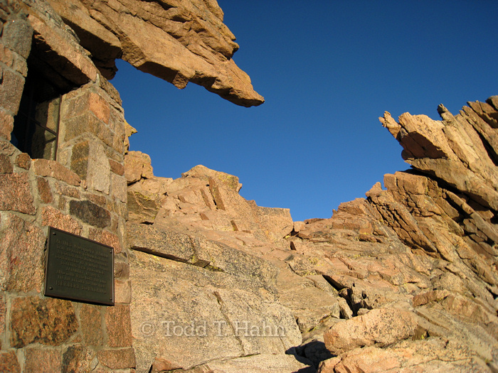
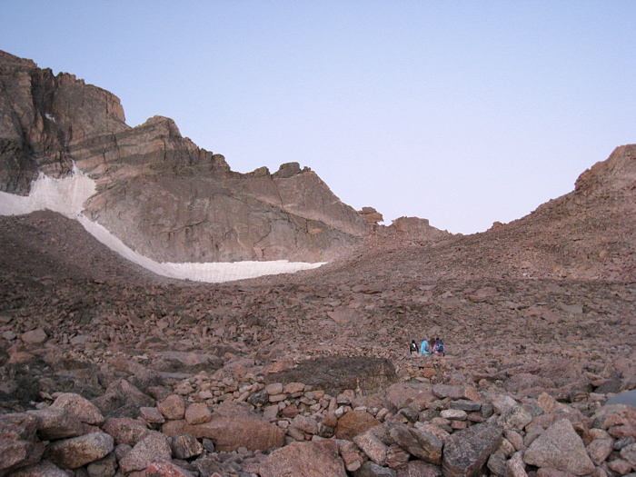
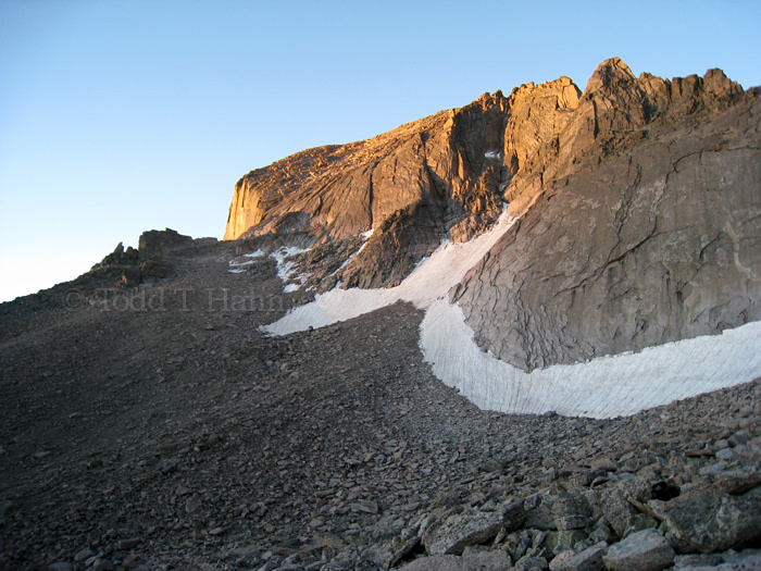
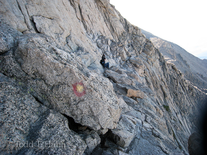
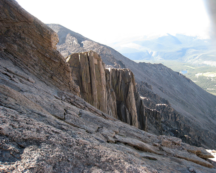
The Agnes Vaille Memorial Shelter and the Keyhole. 6:38am.
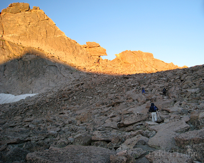
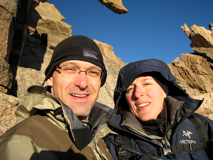
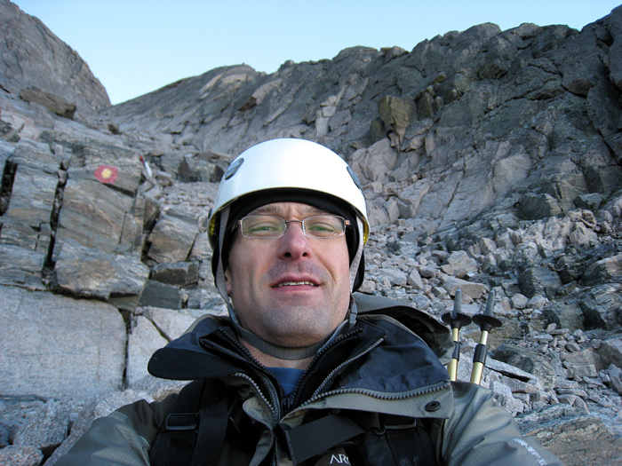
Heather and I climbing up to the Keyhole. (Video clip times: 6:38am, 6:38am, 6:39am, 6:50am)
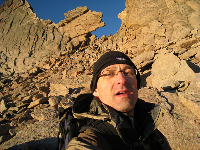
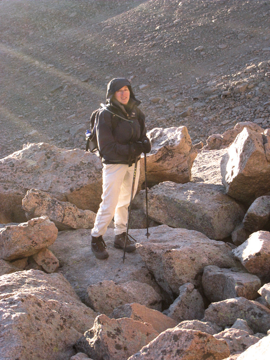
After getting to the Keyhole, Heather was scared of being blown off the route because the wind was so strong going through the Keyhole. The wind was at least 40mph, if not 50-60mph. Because of the wind, Heather decided that the Keyhole was good enough (getting to the Keyhole was her goal). We traded some gear and I continued on. Heather would go down after resting and talking to others just below the Keyhole.
6:40am
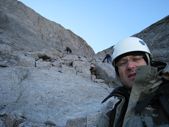
This video shows two of the more notable third-class areas on the Ledges. The first area is a move over a open dihedral that drops at a steep angle. I found that it wasn't necessary to use the rebar put in the rock, but the move requires your full attention (or else). The second area requires several scrambling/climbing-type stemming moves up a polished dihedral that is at (roughly) 40-45 degrees. (Video clip times: 7:06am, 7:07am)
Views from, and easier parts of, the Ledges, transitioning to the Trough. (Video clip times: 7:13am, 7:21am).
7:29am

Looking down from midway up the Trough. 7:38am
7:39am
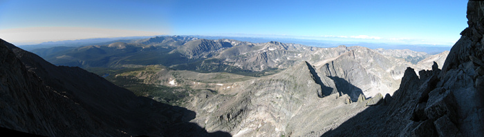
Video of views from, and going up, the Trough. The Trough is from ~13,300' to ~13,900'. (Clip times: 7:23am, 7:28am, 7:38am, 7:38am, 7:39am, 7:54am, 7:54am, 7:55am)
The first part of the Narrows. (Clip times: 7:59am, 8:00am, 8:01am, 8:02am)
8:02am
This video shows me walking across the middle section of the Narrows (8:03am)
Video from the Homestretch.
8:14am
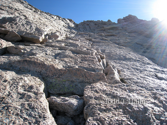
This is a photo of the Homestretch, about 200 feet below the summit. (8:14am)