Thompson Peak via South Route
Summary:
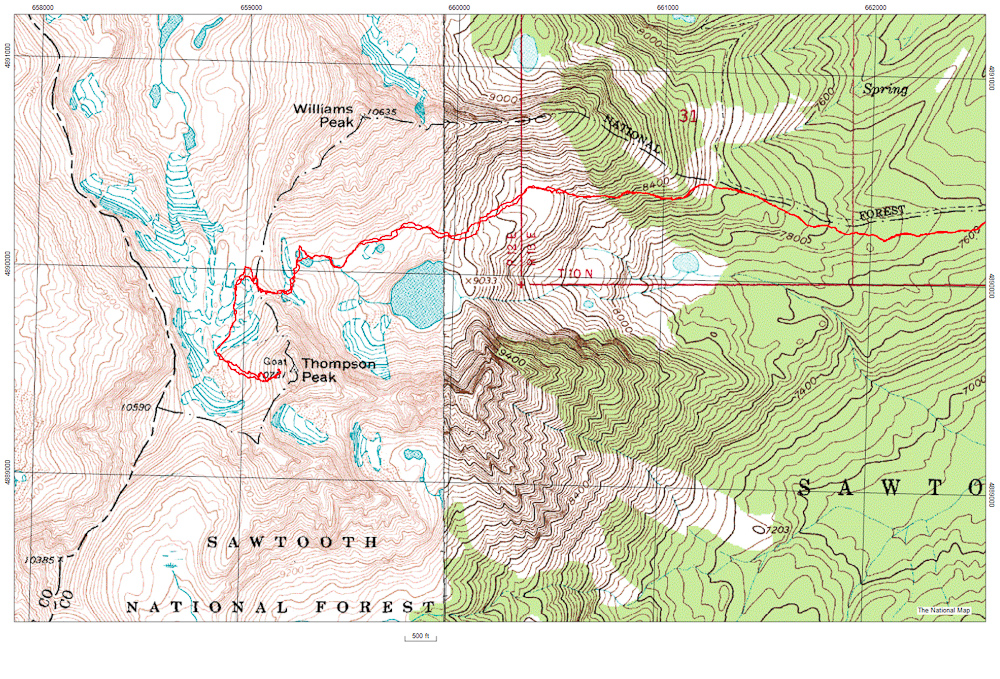
- Successful ascent of Thompson Peak via south route from Redfish TH
- July 27, 2012
- ~13 miles
- ~4200 feet of elevation gain
- Approximately 9 hrs
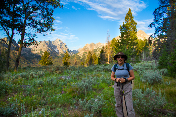
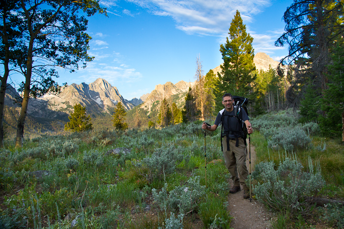
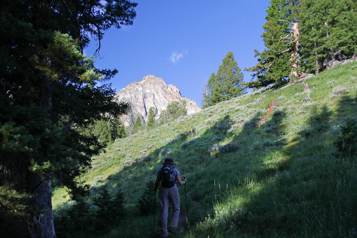
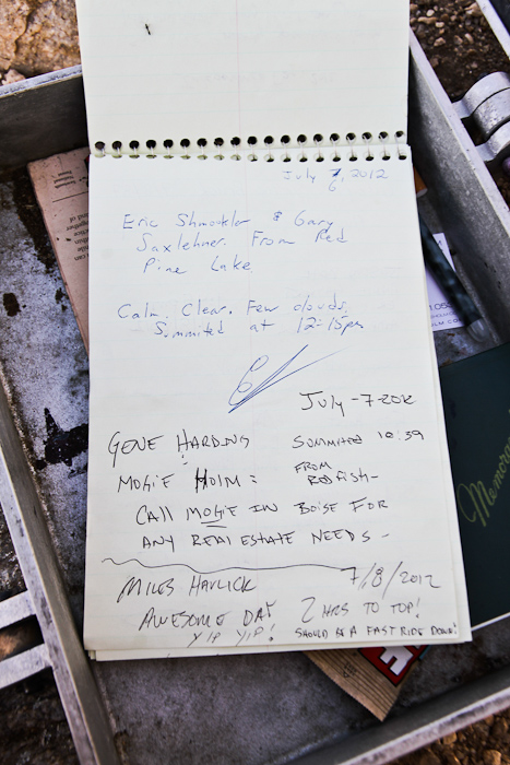
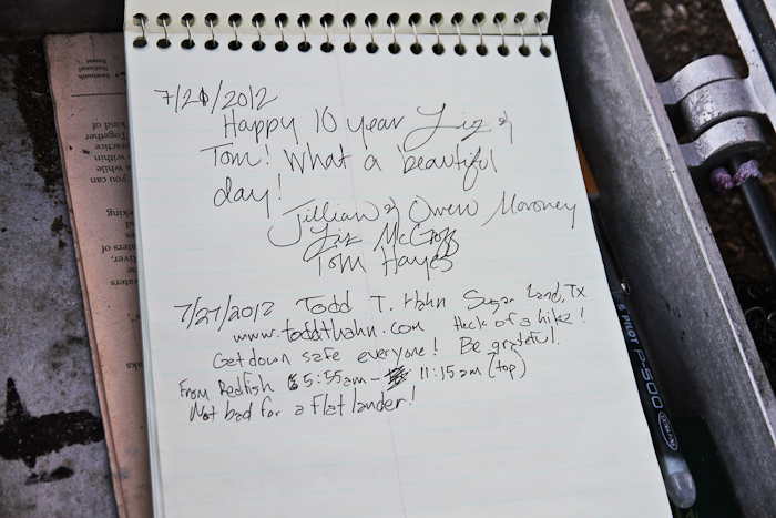
We started up the trailhead at 5:55am and signed the trail register, indicating our destination, method of travel (foot), and number of days (1). A few other people from the previous day had indicated they were going to Thompson Peak.
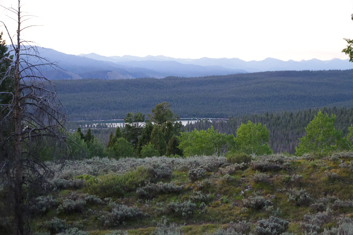
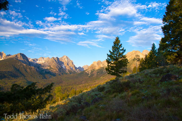
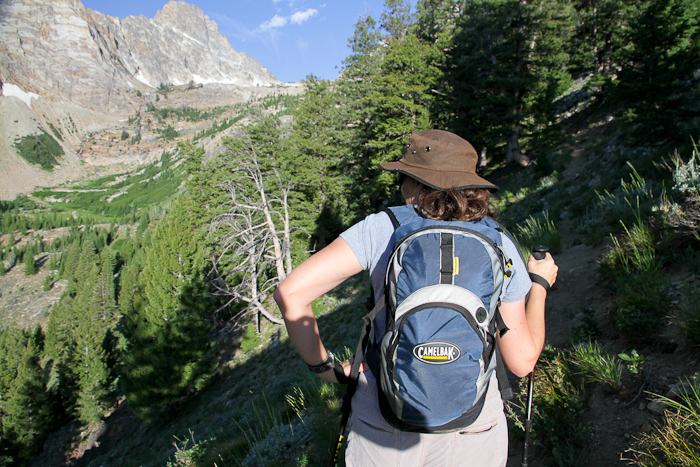
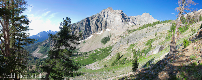
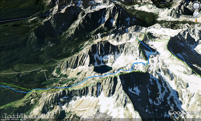
Taken from the Marshall Lake trail on the spine of the lateral moraine.
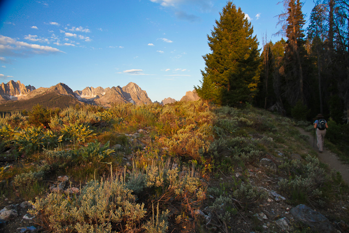
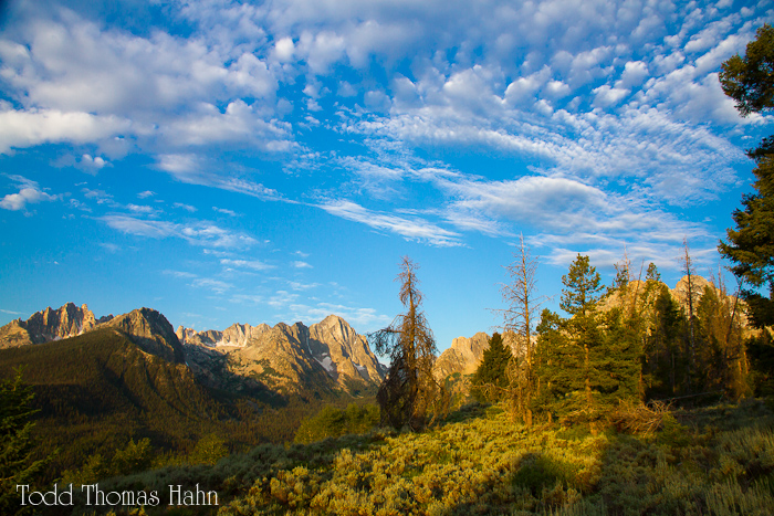
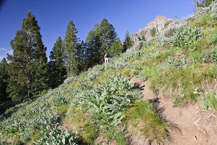
Early on the climber's trail heading into the Thompson-Williams cirque.
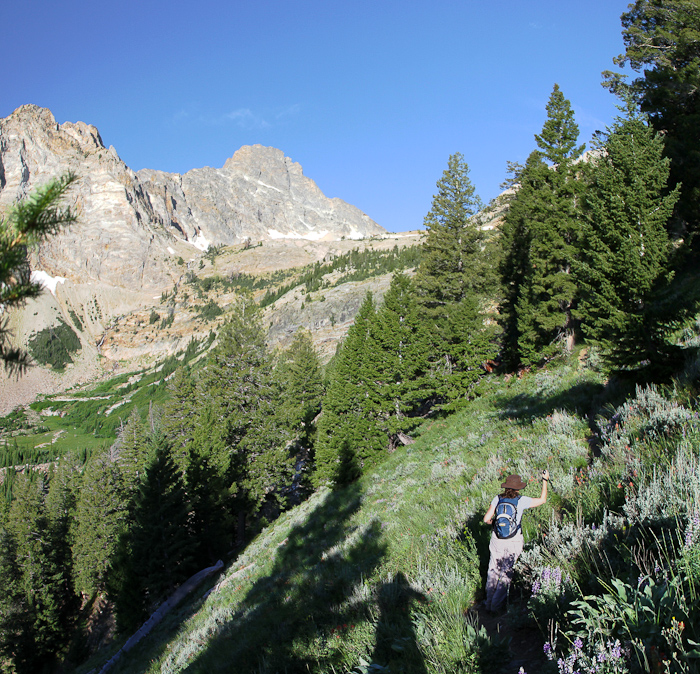
At a bit past this point (not shown), the route traverses a steep (40-45 degree) slope and the trail is narrow and loose. Heather decided she was too uncomfortable and wanted to turn around. So we swapped provisions and I gave her the keys to the rental car. She made her way to Marshall Lake and then back to the car.
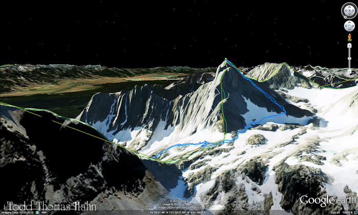
Thompson on the left, headwall in the center. I crossed a snowslope to get to midway up the headwall between Williams and Thompson.
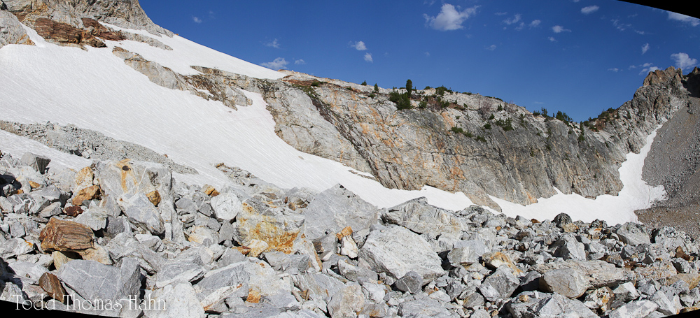
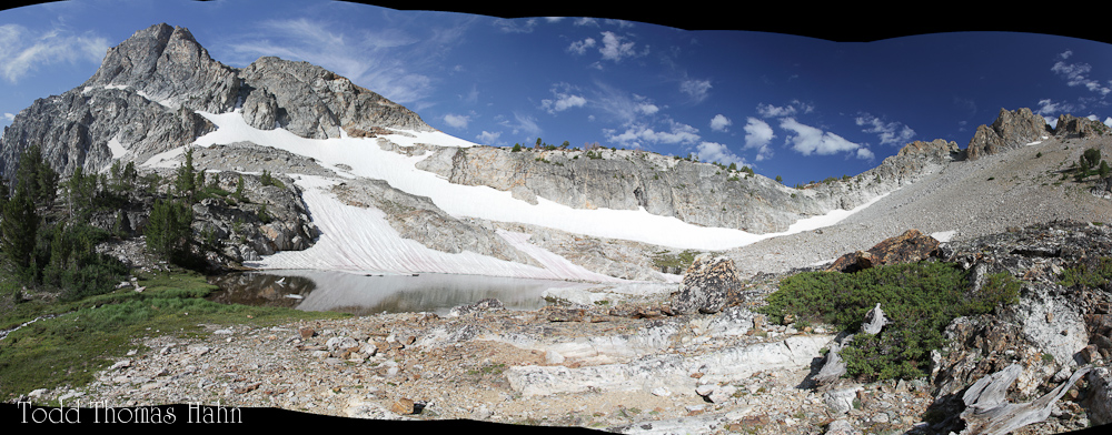
A panorama of the headwall and the snowslope leading up to the headwall. It took me 20 minutes or so to cross the soft snowslope as I didn't have and ice axe for self-arrest and had to kick steps to lessen the chance of a fall. I think a fall here wouldn't have been serious -- I was just being cautious.
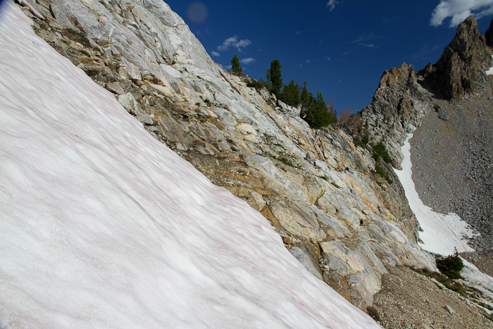
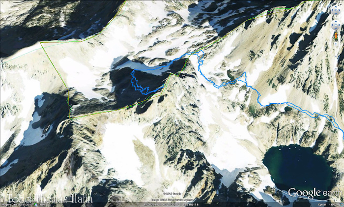
The end of the snowslope and the beginning of the headwall.
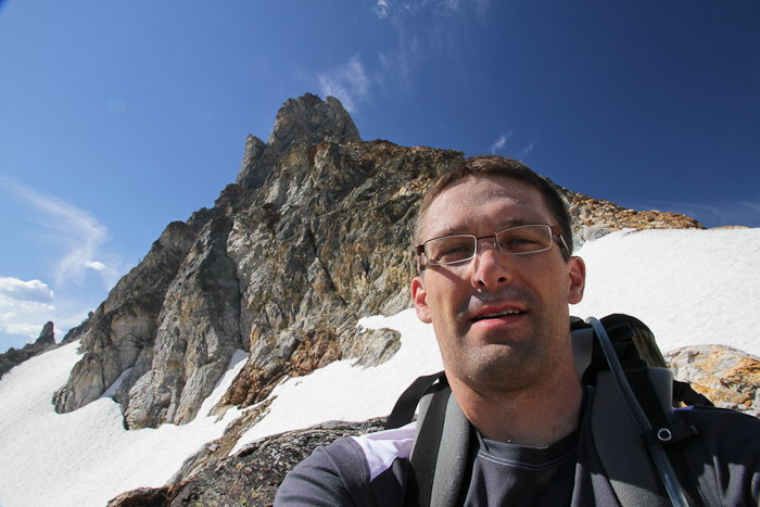
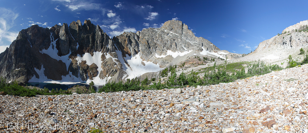
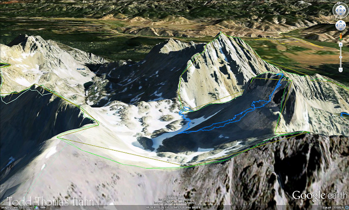
A panorama taken from the saddle between Williams Peak and Thompson Peak.
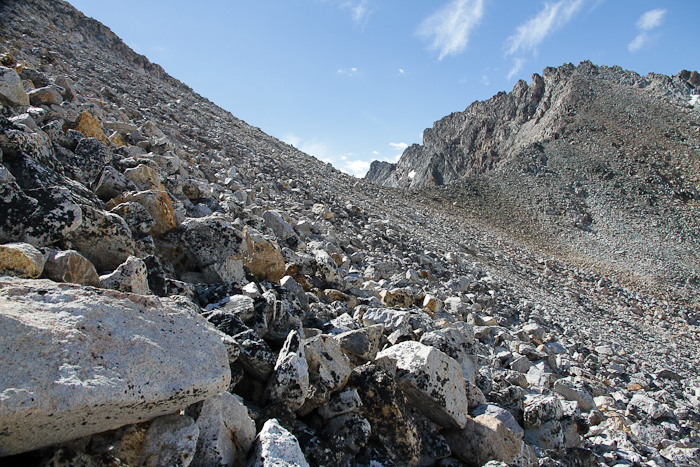
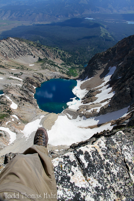
Taken from the west side of Thompson, looking roughly SSE. Very loose talus slope leading to the summit block. I found this part challenging.
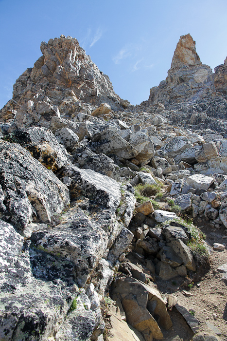
The south "ridge" of Thompson turns into a gully/couloir that is the line of weakness to the summit blocks. Looking north (and up) in this photo.
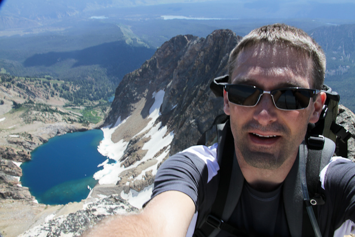
On the summit.
Short video of the approach and the summit.
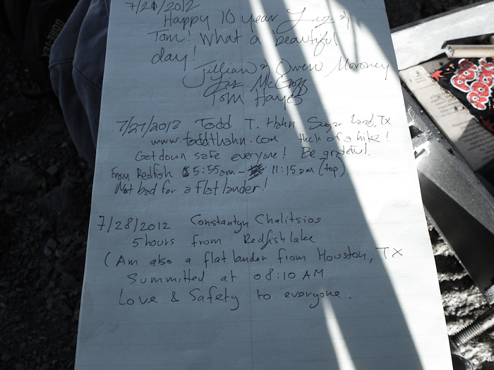
An image taken by Constantyn Chalitsios the next day and thoughtfully emailed to me a few days later. Thanks Constantyn!
Subject: Saw your note on Thompson summit
From:   Constantyn Chalitsios
To:     Todd Hahn
Date:   Tuesday, July 31, 2012 11:34 PM


May meet you at TRG

Cheers,
Constantyn (route setter)
TRG stands for the Texas Rock Gym, a climbing gym in Houston that Heather and I used to go to frequently before Alex was born.
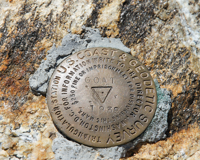
A benchmark installed in 1938.
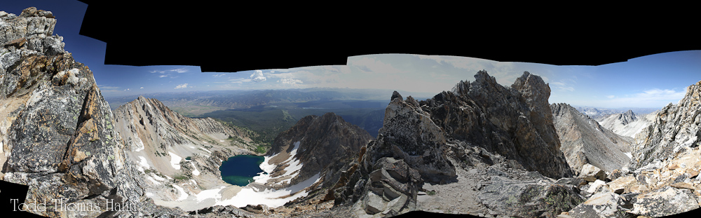
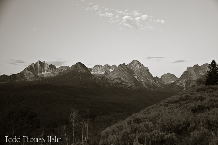
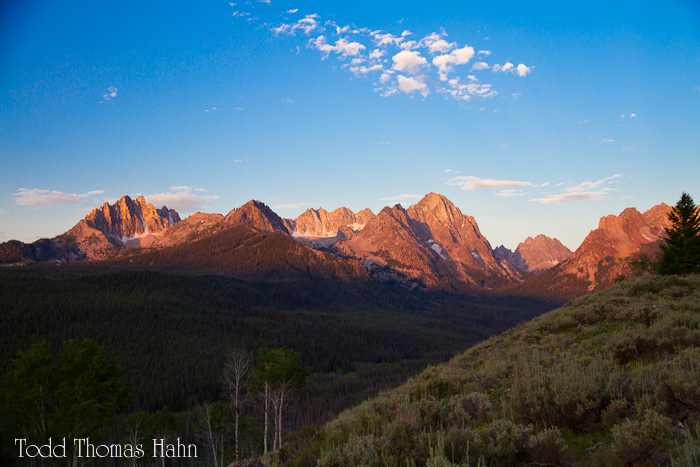
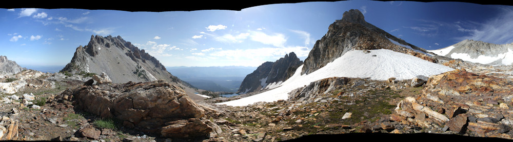
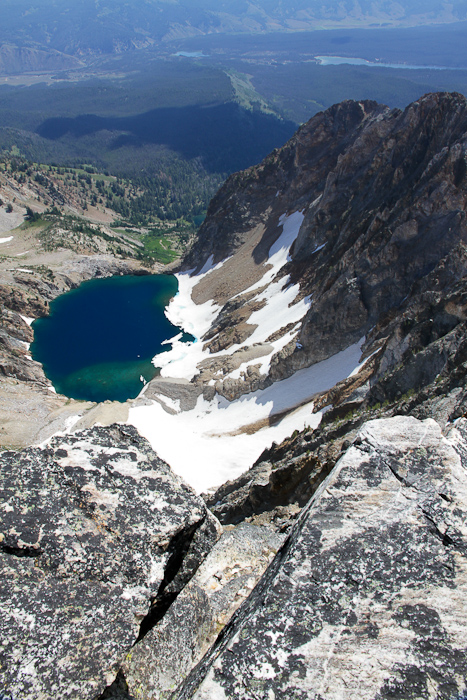
A panorama from the summit complex.
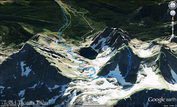
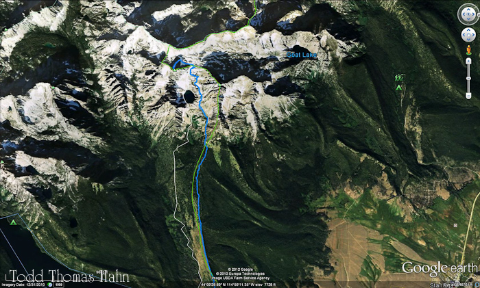
My route up the pyramid of Thompson was on the east slopes and it maybe should have been more towards the southern slope/ridge. The talus was very steep and loose on the east side.
Some notes:
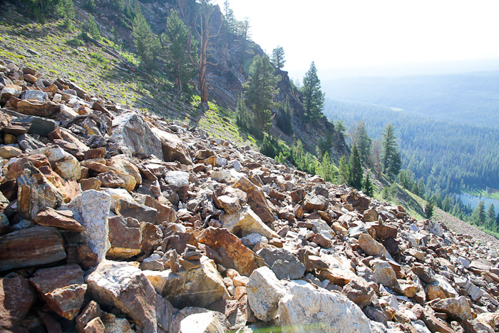
I felt that the terrian near the top this climb was brutal. There is a lot of talus that has to be traversed and climbed. There is no trail in the cirque after the first half-mile or so. The summit pyramid is a steep slope of never-ending loose talus of all sizes. Really gruelling to get up.
As far as difficulty or amount of effort, I feel this climb is about as difficult as Longs Peak, maybe a bit less. It is only 13 miles compared to Longs' 16 and only 4200 feet in elevation gain compared to Longs' 5000'. However, there are a couple of complicating factors that may dissuade someone who has done Long's Peak. First, this hike is mostly off-trail for the last mile or two to the summit and there are no painted rocks or cairns. There is a minor amount of relatively simple route-finding. Second, a solo hiker on this route will likely be alone after starting up the climber's trail into the cirque. Third, the talus is steep and loose, especially on the pyramid leading up to the peak.